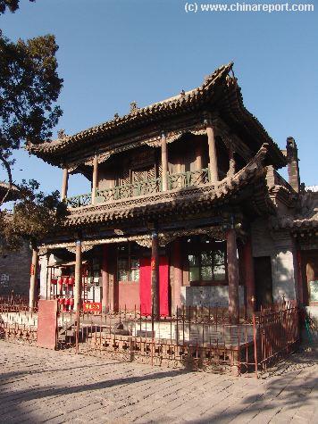
The partially unpaved Road to Datong's 3 Story Drum Tower and some of the cities' oldest housing.
A local rickshaw man fighting the everpresent Gobi-wind on the road in front of Lower HuaYan Monastery Entrance Gate.
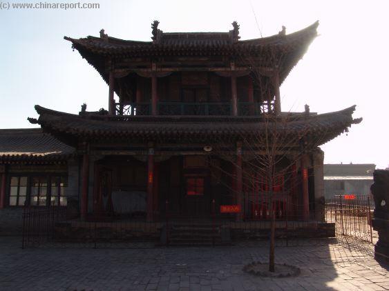
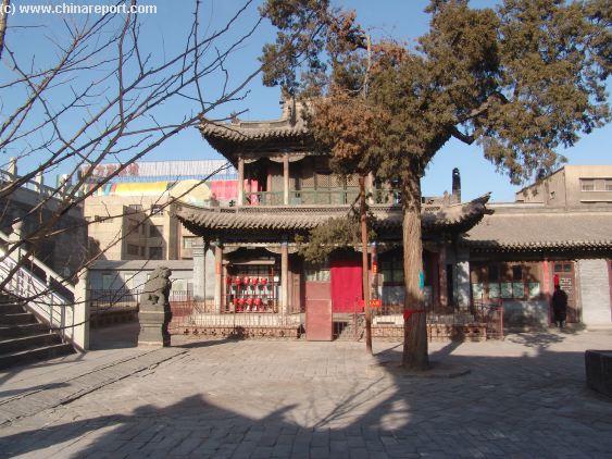
A view along Main Road in front of Lower HuaYan Monastery South Gate. Immediatly Left and North to the Upper HuaYan Monastery.
A view along Main Road towards the West and the corner you just came from.
The small ticket office just right (East) of the South Main Gate to the lower HuaYan Monastery. Don't expect any English ! You are in one of the poorest parts of China !
"Journey to the West" in hardcover - 3 Volumes
ChinaReport.comat
- Click to Enlarge -
The partially unpaved Road ..
- Mouse over Image -
Sound Bonus: Yellow River Piano Concerto - Wrath of the Yellow River
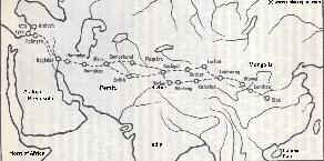
China Report - Map of the Ancient Silk Road during the Han Dynasty & Roman Age 1
A Schematic Map depicting other details along the Full Length and main pathways of the Ancient Silk Road during the Han Dynasty Period (206 BC - 221 AD).
As seen from China the Silk Road extends due Westward from Chang'An (Xian) the Han & (later) Tang Dynasty Capital. The Yellow River is crossed at Lanzhou, after which Dunhuang is the Last Station. This Map depicts the Lost Civilizations of Loulan and Hotan, as well as the south route and north route of the Silk Road coming together at Dunhuang in current day Gansu Province of China.
Find DrBen and ChinaReport on Facebook with the latest from www.drben.net.