The Jade Island ...
Beihai Park and the White Dagoba
Beihai Park (17) Long Corridor
This page was last updated on: June 22, 2017
To Main Menu Landmaarks & Hot-Spots
Click to Enlarge
Webstyle produced NavBar
View a Satellite Image based Map of this Area
Go to www.drben.net webring
To Main Menu of All Websites at DrBen.Net
ChinaReport.com at
DongCheng District Menu
China Travel Community | Promoot jouw pagina ook
This page was last updated on: June 22, 2017
My Great Web page
Find DrBen and ChinaReport on Facebook with the latest from www.drben.net.
DrBen Nijhoff | Maak je eigen badge
The Jade Island was already well known as early as the Jin Dynasty, when "Beijing" first became the Capital of (part of) China.
(Read More in: "History of Beijing (1) Earliest History of Beijing").
At the time it was proudly listed among the  "Eight Great Scenic Sights of Beijing". Many centuries later in the year 1751 AD, the
The Qianlong Era Stele on the east shore of Jade Island facing the Eastern Gate. It names the Island as Jade Island.
Qianlong Emperor of the Qing Dynasty - a rather active man in this respect - erected a stele at the front of the Jade Islet facing the  East Gate across a white marle bridge.
Speaking as an outsider in total hindsight, it seems
it seems almost incredible that the Stele survived two and a half centuries, including the enormously destructive Cultural Revolution Era (1966 AD - 1976 AD Debatable) in Beijing, a time
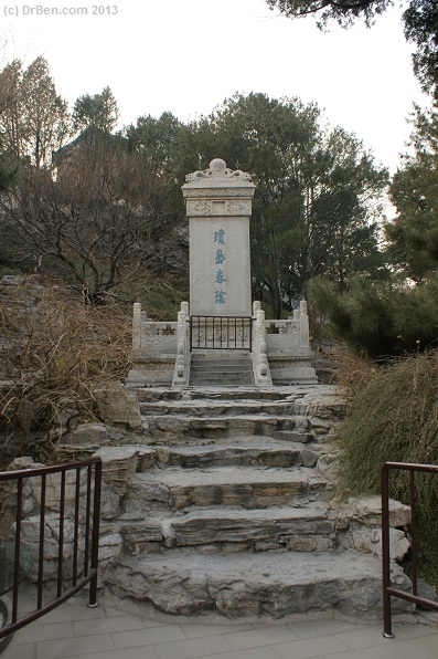
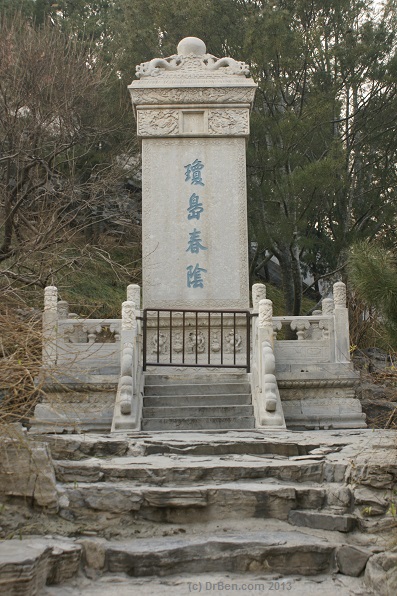
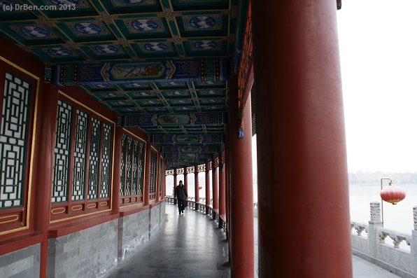
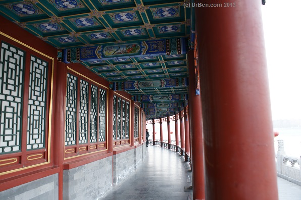
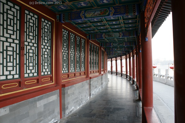
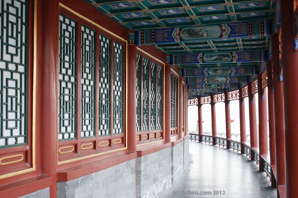
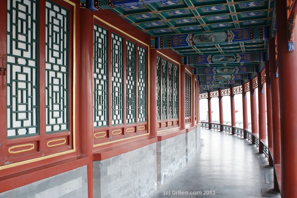
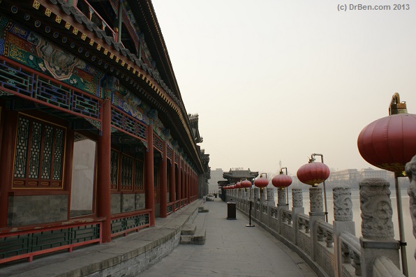
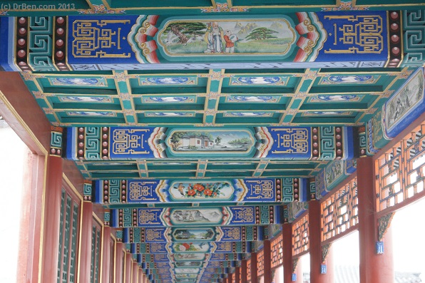
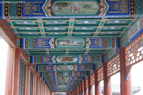
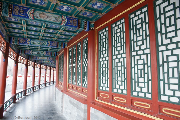
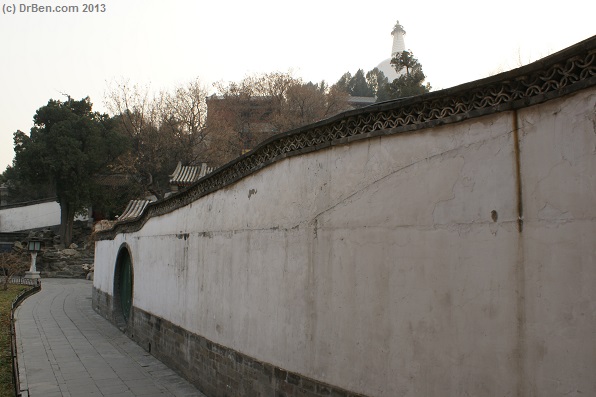
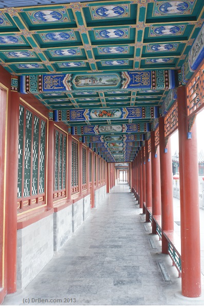
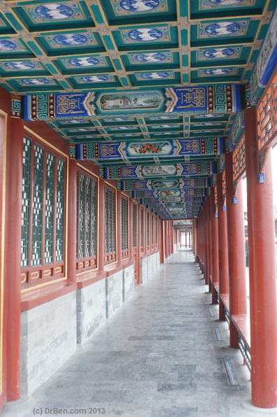
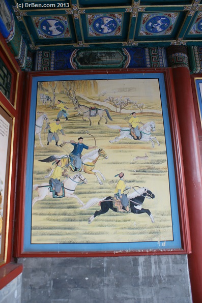
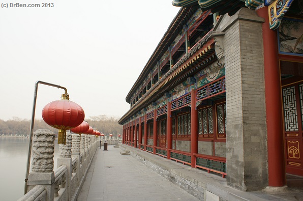
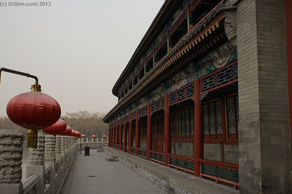
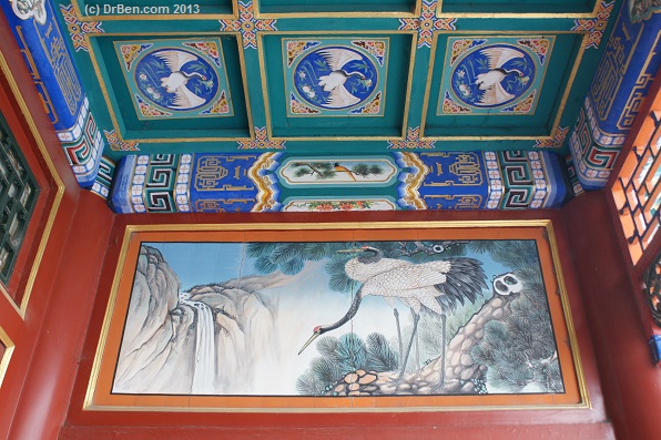
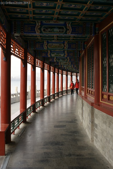
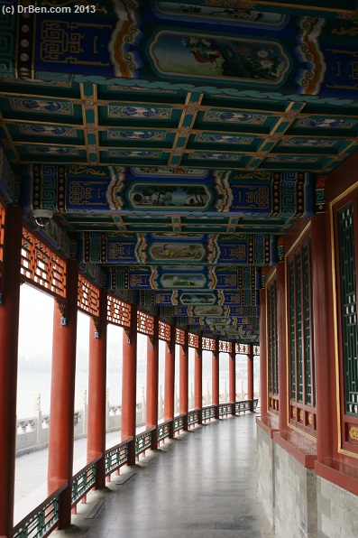
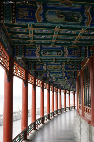
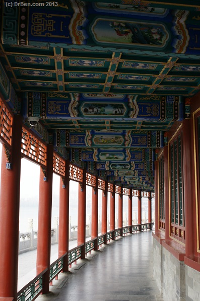
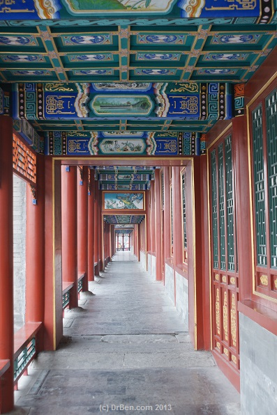
during which everything representing the "Old Values" had to destroyed to make way for the new, but the stele still stands seemingly unscathed on its spot today. The meters high white marble plaque, placed in an elevated position on a white marble platform with miniature balustrades has an inscription on its front side by the hand of the Qianlong Emperor saying "Qoing Dao Chun Jun" which translates as "Jade Islet in Spring Shade". The other three sides of the stele are inscribed with poems from the famous Manchu Emperor.
On to Long Corridor and Jade Island Imperial Restaurant
Click Map to go to Full Version !!
CENTRAL BEIJING MAP 01 -
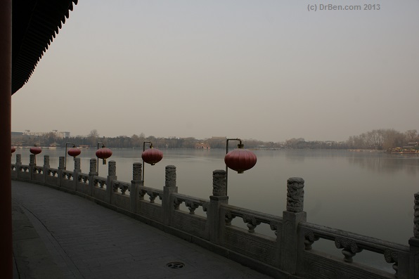
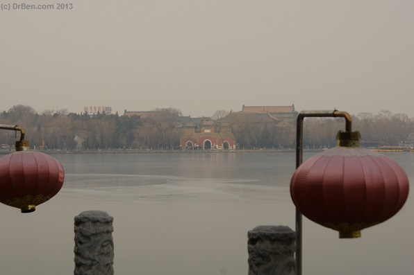
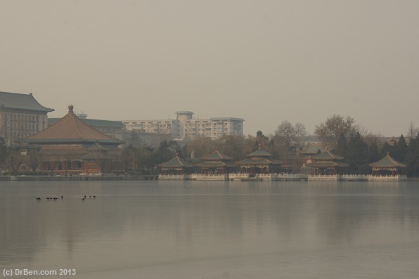
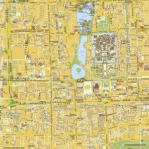
Very accurate and up to date Map of Beijing City Center , complete area of the Palace Museum (Forbidden City), Square of Heavenly Peace, Beihai (North Lake) Park, the South and Middle Lakes (Zhongnanhai) and area's of surrounding districts of Xicheng, Dongcheng, Chongwen and Xuanwu. Map detail includes names of alley's (Hutong) and even side alley's.

Map clearly marks the location of all Landmarks, Historic Monuments, hotspots and various sites of interest within the map area. Please browse the map and follow the links to additional information, maps and photo's of each location and site.
Beijing Landmarks
Beijing Introduction
Beijing Online Sources
Beijing
Beijing Home
Beijing Hotels
Beijing Maps
Beijing Public Transport
City Province Transport
Beijing by District(s)
Chongwen
ChaoYang
Dongcheng
Fengtai
Haidian
XiCheng
Xuanwu
6 Outer Suburbs
TiananMen Square
Alphabetical Order
By Function(s)
Forbidden City
Hebei Province
Hebei Province Home
China Offline Sources
AsiaReport.com Home
China Report Home
China Online Sources
China Online Store
China Maps
China
China Photo Galleries
China Report Club
4 Rural Districts
Shijingshan