This page was last updated on: June 6, 2017
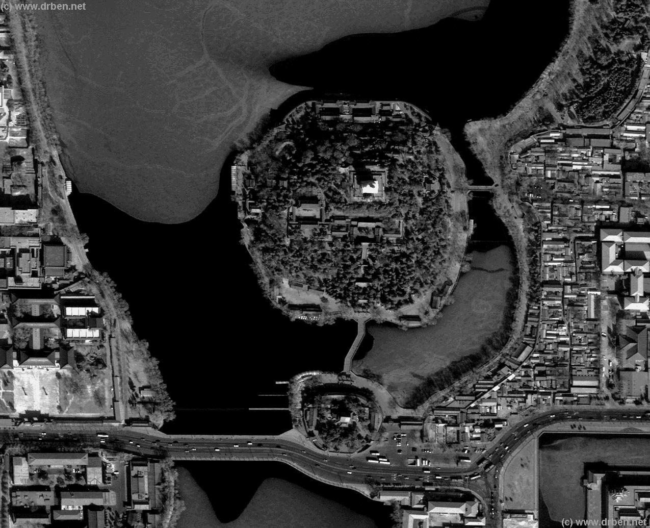
This Satellite Image clearly shows the Southern Part of the Very large Beihai Park, a former Imperial Pleasure Garden which is part of the DongCheng District of Beijing situated and is situated due north west of the Palace Museum.
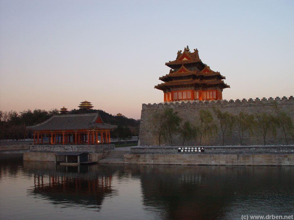
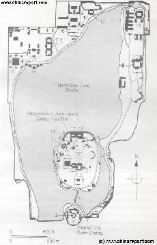
The Map highlights the Bei Hai (north Lake) South Shore, the Marble Bridge and Yong An Temple and Bai Ta (White Dagoba) on the Evergreen Jade Island. A Large part of the North Lake, including its Northern Shore with all its splendid Temples, Pavilions and the Nine Dragon Screen are not visible in this Photo. These areas are most easily reached through the Northern Park Gate, across the boulevard and South from Lotus Lane and Qianhai. In The South-East Corner ( bottom-left ) the Walls of the Imperial Palace , a watchtower and the surrounding Palace Moat can be seen. To The East Jingshan Park is not visible. Jingshan Jie ( avenue ) cuts through the Photo from Left to Right just below the South Gate of the Park. Above it the Round
or Circular City is clearly visible.
Browse the Image and Follow the various links to find more specific information, backgrounds and
photo's of each location.
Introduction to Satellite Image of Beihai Park & Jade Island
Mouse over Image to Reveal Name Information
South
East
Mouse over Image to reveal Monument Location Details
Return to: Dongcheng District Maps Menu
Forbidden City Watch-Tower at Dusk
Mouse over Image to reveal Monument Location Details
The South Gate
Entrance to Circular City
Bai Ta 1st Platform
Yong An Temple Entrance
Cheng Guang Hall
Around the Eastern Gate
Yong The North Lake Shore and Marble Bridge
Fa Lun Hall Courtyard
Fa Lun Hall
2nd level-Yin Sheng & Di Ai Pavilions
3rd Level Platform
Sheng Guo Hall
Pu An Hall
Yue Xin Hall
Jin Qi Hall
View from Bai Ta to the North Hall
Click to Enlarge !!
The South-West Gate (leads to North Shore)
Go to www.drben.net webring
ChinaReport.com at
To Main Menu of All Websites at DrBen.Net
Beijing Hotel Listing - All Hotels in Beijing
To Northern Church, Geological Museum, Temple o/t Emperors o/t Past Ages, Miao Ying Temple.
Former Imperial Beijing Library
To North-Western Shore : Five Dragon Pavilions, Nine Dragon Screen, Chan Fu Imperial Temple (Buddhist) .
This page was last updated on: June 6, 2017
My Great Web page
Return to: Dongcheng District Maps Menu
Long Corridor & Imperial Restuarant
East Shore of Beihai walking route
Beijing Landmarks
Beijing Introduction
Beijing Online Sources
Beijing
Beijing Home
Beijing Hotels
Beijing Maps
Beijing Photo Galleries
Beijing Public Transport
Beijing by District(s)
Chongwen
ChaoYang
Dongcheng
Fengtai
Haidian
XiCheng
Xuanwu
6 Outer Suburbs
TiananMen Square
Alphabetical Order
By Function(s)
Forbidden City
Hebei Province
Hebei Province Home
China Offline Sources
AsiaReport.com Home
China Report Home
China Online Sources
China Online Store
China Maps
China
China Photo Galleries
China Report Club
4 Rural Districts
Go through to Beihai Park basic schematic Map of all structures.
Alternative: Beihai Park Schematic Map of all structures within the park with links to more info.