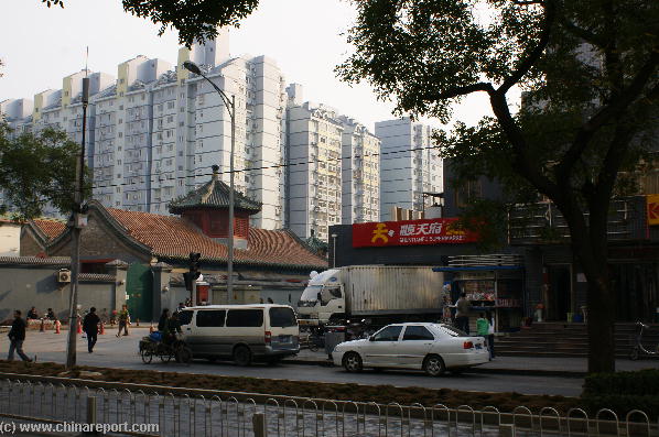
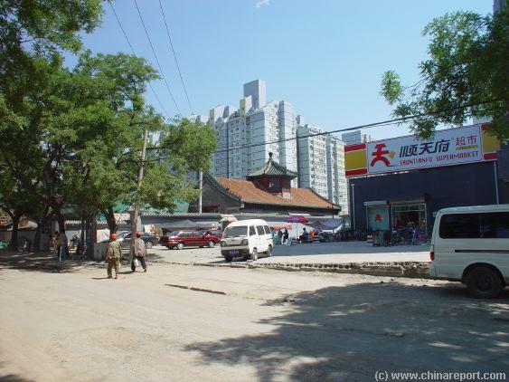
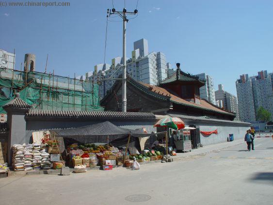
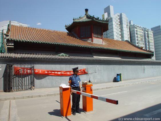
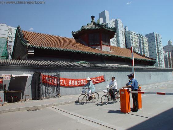
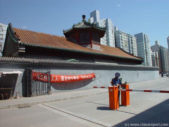
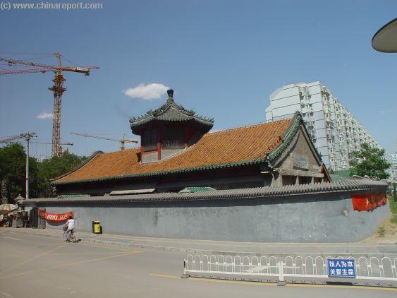
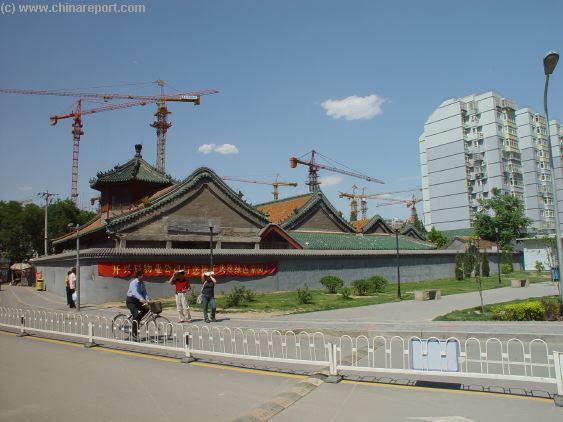
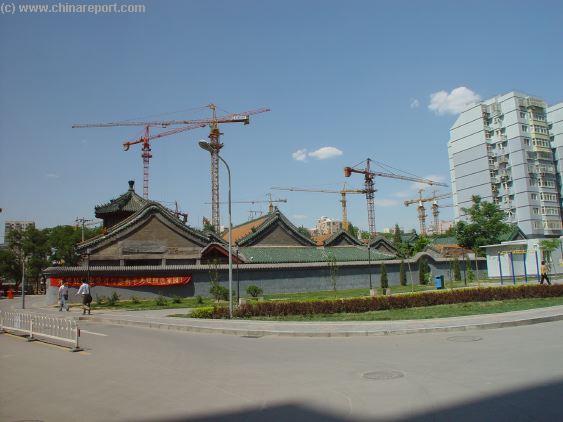
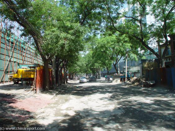
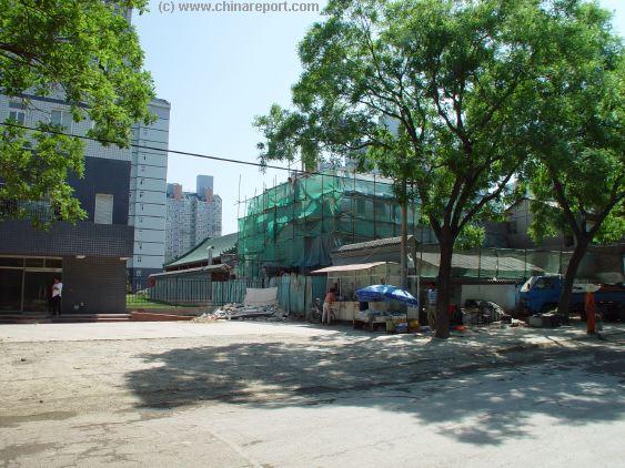
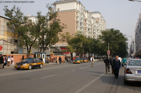
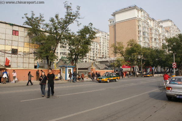
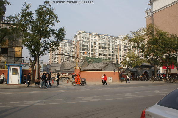
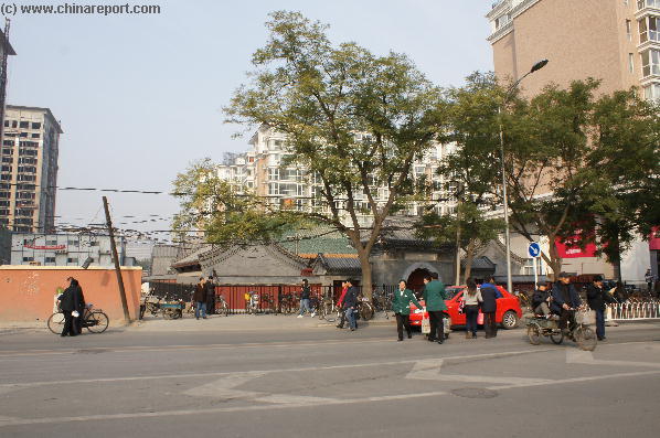
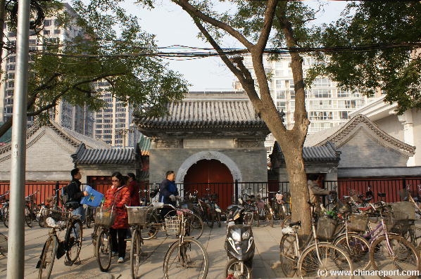
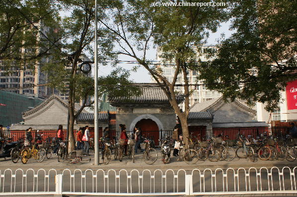
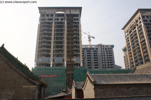
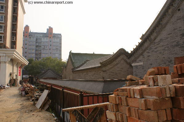
Located directly west and behind the New World Malls ...
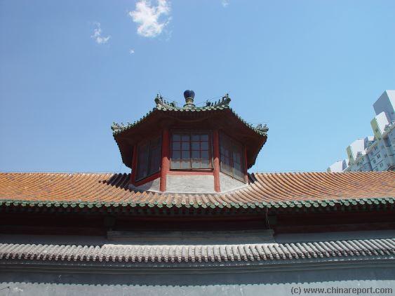
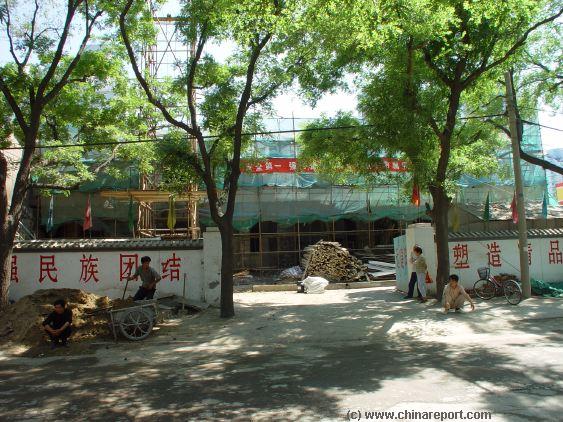
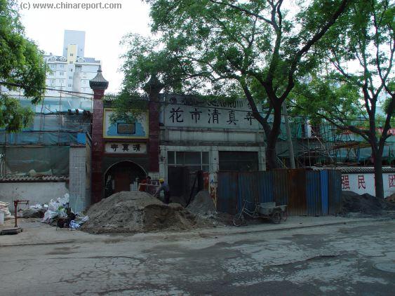
The HuaShen Miao aka Chongwen ...
Webstyle produced NavBar
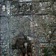
A satellite Image overview of North-Chongwen District, plus a part of DongChengin the North and Xuanwu District in the West.
Find ChongwenMen Nei Dajie leadingup from Tiantan Park's North-Eastern Corner to (former) Chongwen Men Gate. The location of the Fire God Temple is marked.
Soundbonus - Traditional Chinese Folk Song from Xinjiang-Uygur Province, the "Flower of Hsin-Jiang" (Bamboo Flute).
- Mouse over Image -
China Report's Digital
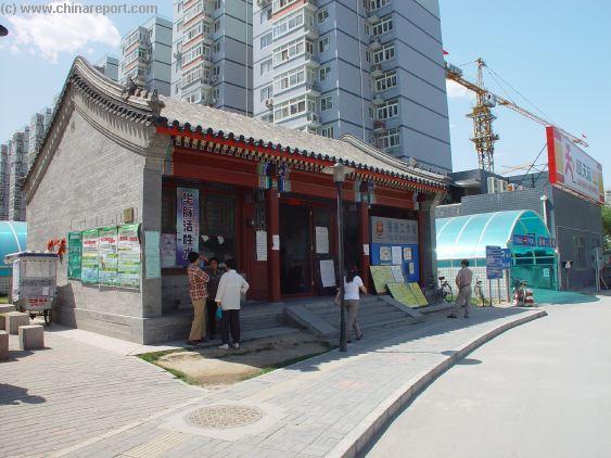
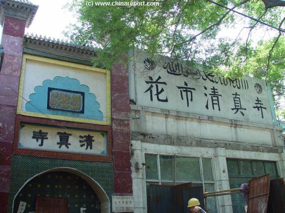
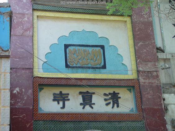
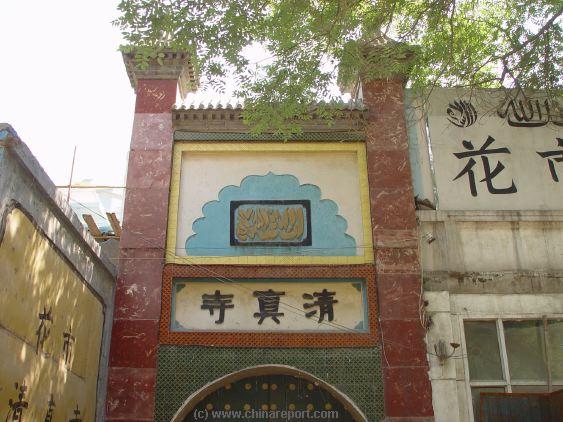
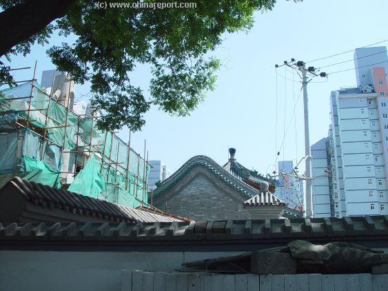
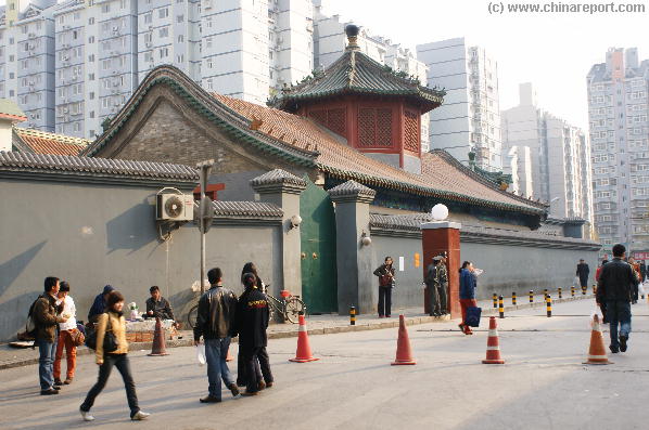
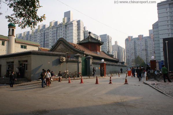
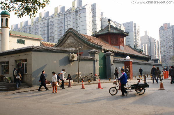
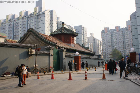
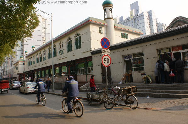
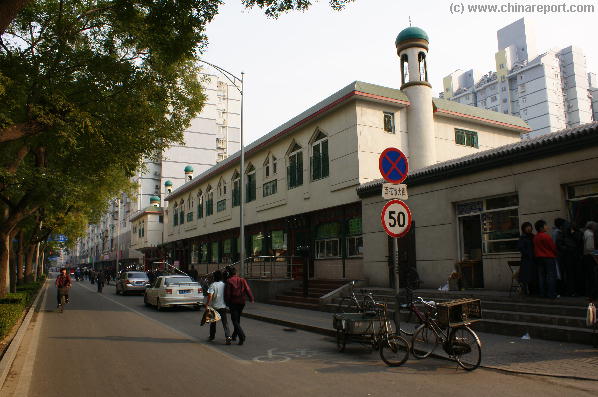
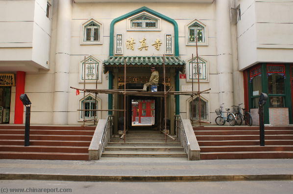
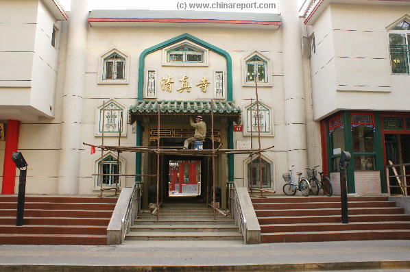
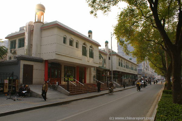
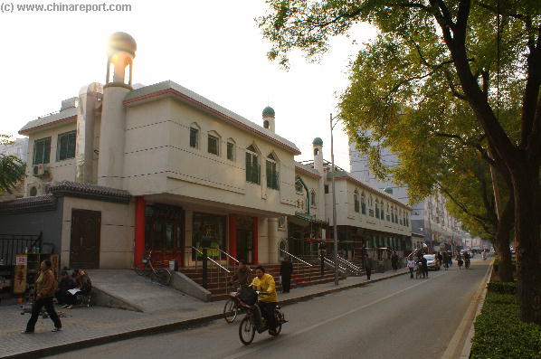
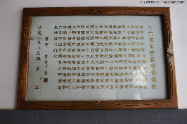
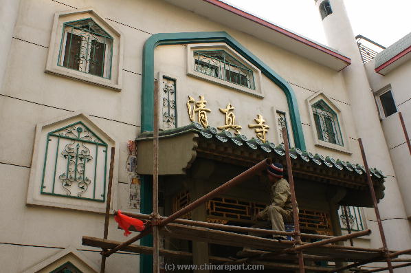
Introduction to Huashi Mosque (West Flower Market Street) of the Chongwen District in Beijing.
The Huashi Mosque was first built in 1415 during the reign of the emperor YongLe in Ming Dynasty. It has a long history of more than 500 years, located on the southern side of the Huashi Street in Chongwen. According to the legend, The Mosque was the residence of Changyuchun, a famous general in the Ming Dynasty.
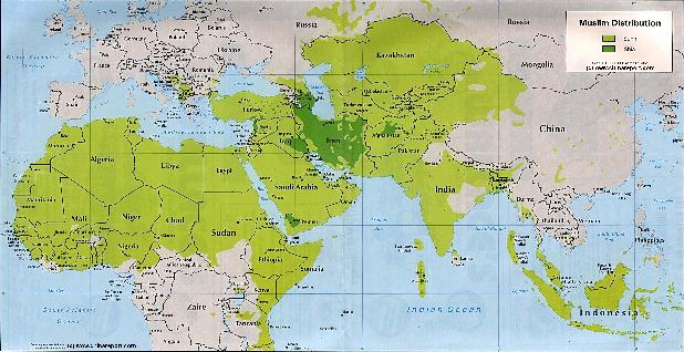
Asia Report - Maps - Distribution Islamic Faith Asia, Africa , Europe
A Demographic Map depicting the Distribution of the Islamic Faith in China and Asia, as well as Europe and the majority of the continent of Africa.
Sunni Islamic Areas are depicted in Green, whereas the Shia (Minority) Areas are depicted Darker Green.
The predominantly Muslim Xinjiang-Uygur Autonomous Region of China, Parts of Gansu Province and Small Ningxia Hui clearly stand out as the main muslim areas in China.
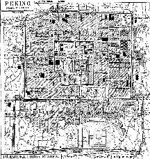
Map of Beijing in 1916 AD
Schematic Map of the the City of Beijing in 1916 AD, shortly after the 1911 Xinhai Revolution. Beijing was modernizing and China was experiencing the industrial Revolution.
Among the most noteworthy features of this Map are the QianMen Railway Station, at the Time the Main Railroad Station of Beijing.