To The Beijing Report Home
All Online Sources used in the creation of this Report
Full Report Text and Photos due soon in 2009 !!
This page was last updated on: June 15, 2017
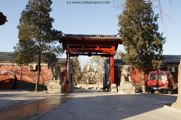
Welcome to China Report's Digital Introduction to the Bhurmese Five Pagoda Temple, Wu Ta Si and the Chang He River restored Zhuan He section in the Haidian District of Beijing.
Five Pagoda Temple - WuTa Si
Directions to Temple & Map of HaiDian District
Coming Soon !
DongCheng District Landmarks,Monuments, Hotspots Main Menu
54511
! Sign the The China Report Guestbook !
E-Mail The China Report
Overview Map of Haidian District
Webstyle produced NavBar
Go to www.drben.net webring
To Main Menu of All Websites at DrBen.Net
ChinaReport.com at
Go to Next Page !
1473 Buddhist Watu Si or Five Pagoda Temple, Beijing, China
1473 Buddhist Watu Si or Five Pagoda Temple, Beijing, China Photographic Print
Dydynski,...

Mouse over Image !!
- Mouse over Image -
Mouse over Image !!
Overview Map of Haidian District
Mouse over Image !!
- Mouse over Image -
Mouse over Image !!
- Mouse over Image -
Coming Soon !
Move on to the Outer Court of the Temple
Coming Soon !
Move on to the Outer Court of the Temple
underneath the Western Hills and Xizhimen Gate was part of water sytem feeding the City of Beijing and an important Canal in terms of transport. It was THE feeding river for Beijing's famed and still Glorious Imperial Lakes of Houhai, Qianhai, Beihai - where it enters near the North Gate and Zhongnanhai. Through Beihai Park parts of the flow of the River even reached the Imperial Palace and City, feeding the waters of the Moat, the Imperial Garden - Yu Huan Yuan, Wu Ying Dian - Hall of Martial Valor and those underneath the Outer Courts famed Golden River Bridges and other water structures of the Huge Palace, including current day Park of the Peoples Culture. Today it ends at current day Park of the Peoples Culture (Just West of Grand Hotel Beijing) from where it used to connect through underneath Eternal Peace Avenue - Chan An Jie' to run through "Canal Street" in the Legations Quarter (now Zheng Yi Lu) to by disposed off through a watergate underneath the Ming Dynasty Era City Walls into the City Moat.

As travel by Boat has always been the most luxury mode of transport throughout China, the Ching Dynasty Imperial
Household regularly traveled along the original Chang River to reach The (Old) Summer Palace, YuanmingYuan and later, when the first one was destroyed, the new Summer Palace - YiHeYuan.
The trip along Chang He was the Favorite boat-ride of the Empress-Dowager Hsu-Tzi.

In the year 1905 AD, a new station was to be developed on the western-outskirts of Beijing in order to connect to the City of Zhangjiakou (Kalgan) someways North-West out of Beijing on the Great Wall of China in Hebei Province.
In the Past a river had flowed from the western hills into Beijing through the (vicinity of) Xizhimen Gate, however there was no place for both the River
and a Railway Station. Thus, the historic Chang He (Chang River) Section near Xizhimen - known as the ZhuanHe for its curvature - was filled in and its course changed. Although the original Chang He River does not exist anymore and Xizhimen has meanwhile grown into the Beijing North Railroad, Subway and Bus Station, the River gained a new life in 2003 AD.

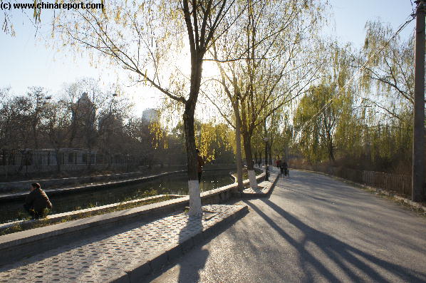
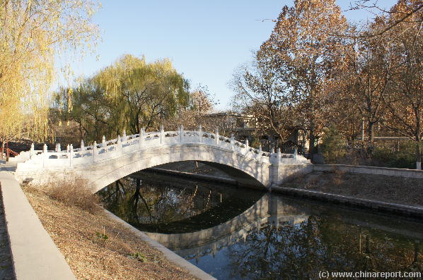
Change He Reopened and with a 3.7 kilometer lenth, the Chang He River flows again.

Find the current River flowing some ways to the North behind Beijing Zoo in the eastward
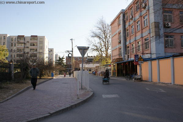
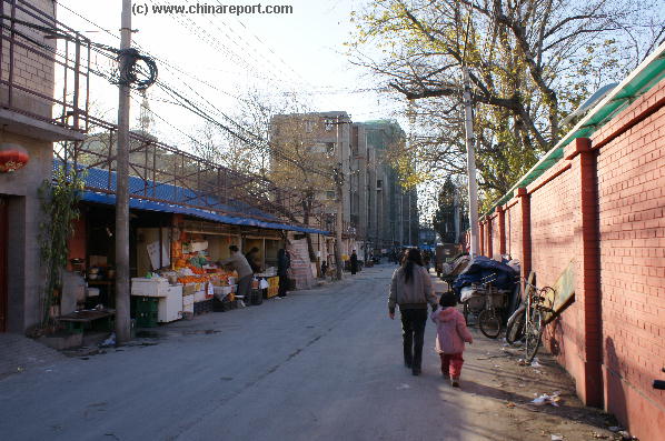
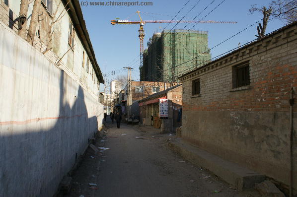
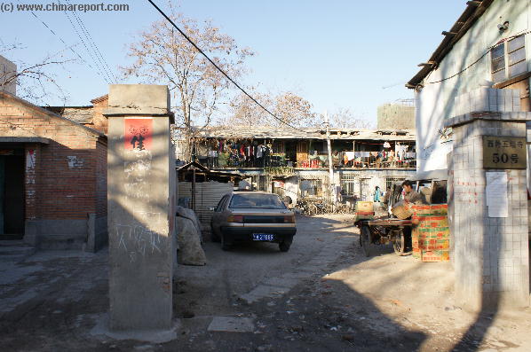
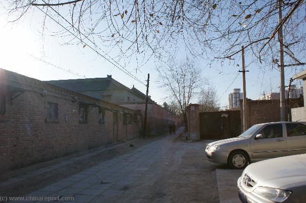
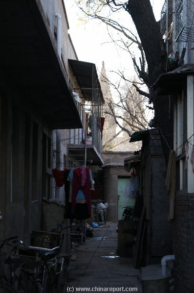
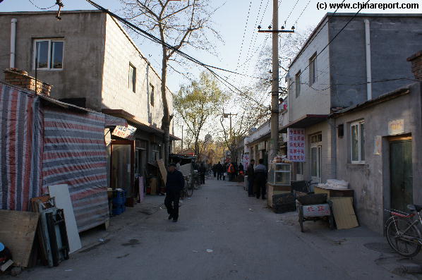
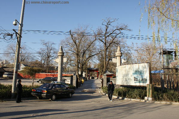
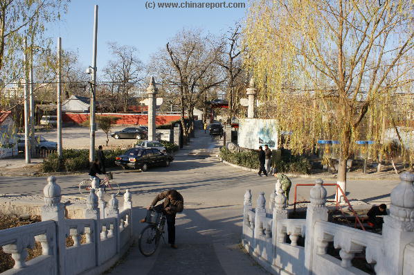
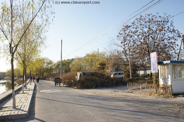
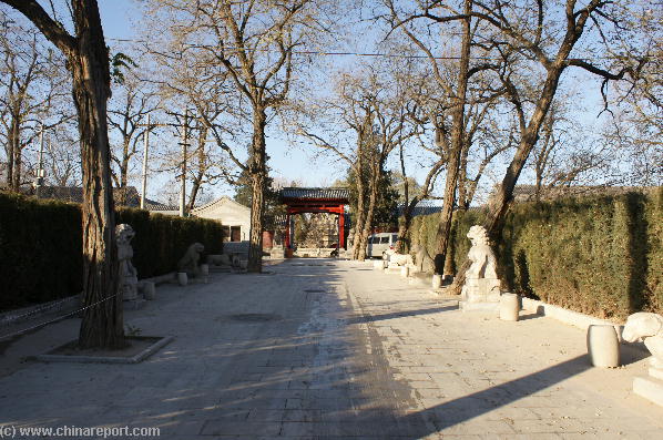
After passing through some dusty and not particlularly interesting Hutong one comes to the new Chang He River, at most times only a modest little Canal running from West to East, north of Beijing Zoo and South of the Five Pagoda Temple.
In the Past, some 700 years ago, the river between the Summer Palace Area
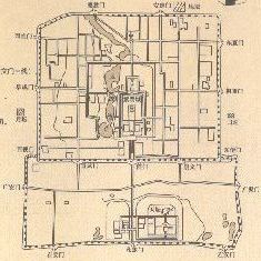
Map of the Ancient Imperial City and Waterflows, including the entrance to the Grand Canal at Tongzhou Village. Chang He is not marked on the Map but stands at the basis of the entire system shown on the Map.
direction. Somewhere in the next stretch it tunnels underground beneath the highways of Beijing's Second Ring Road, after which it reappears above ground just West of Deshengmen Gate. After passing Deshengmen in the shape of a concrete canal its name changes to Andingmen XiBin, the waters running along the North Section of the 2nd ring road to flow past Andingmen and just North of the YongHeGong - Lama Temple. Go North of the Lama Temple and pass underneath the second ring road to find the Water Flow and Canal again.
The Best Guide with Backgrounds to All Beijing Museums, Big & Small - Click through to the Store !
Source Book
"Museums in Beijing
( available from our Online Store )
Pond in a Yard
Golden River Stream - in the Forbidden City Photographic Print
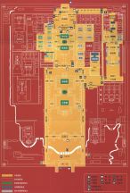
The Official schematic Map of The Forbidden City, by The Palace Museum.
This Map clearly shows the Water-flow through the Palace from the North-West Corner to the South-West Corner. It ends at current day Park of the Peoples Culture from where it used to connect through underneath Eternal Peace Avenue - Chan An Jie' to run through "Canal Street" in the Legations Quarter (now Zheng Yi Lu) to by disposed off through a watergate underneath the Ming Dynasty Era City Walls into the City Moat.
Click to View Official Map of the Palace
Click Map to go to Full Version + Explanations
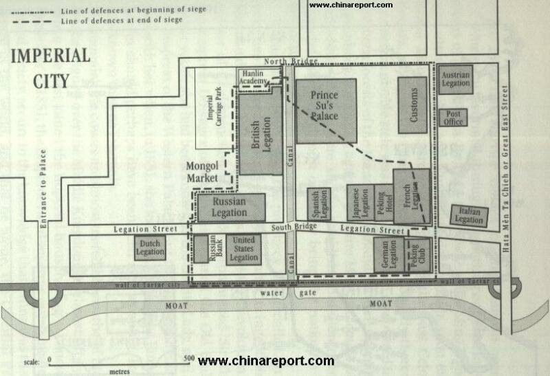
Schematic Map of the 1900 AD Legation Quarter and it's defenses.
Forbidden City, Beijing, China
Forbidden City, Beijing, China Photographic Print
Tall, Adam

Maps of The Forbidden City - Palace Museum
View a very detailed Satellite Map of The Forbidden City
Click Map to Enlarge View
Schematic Map of Beijing Zoo grounds
- Click Map -
Click Map to Enlarge View
Schematic Map of Beijing Zoo grounds
- Click Map -
A Geographic Map of North ChaoYang District (2010).
Click Map to go to Full Version !!
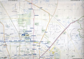
This Map depicts North ChaoYang District focusing on the 2008 Olympic Green (or Olympic Park) in the recently transformed North section of ChaoYang District. Included in the map are large parts of Haidian District in the West (Left), a small part of Changping District in the North, and minor parts of Dongcheng District and Xicheng District in the South.
Browse the Map and follow the Links to more information and Photos!
China Travel Community | Promoot jouw pagina ook
Beijing Landmarks
Beijing Introduction
Beijing Online Sources
Beijing
Beijing Home
Beijing Hotels
Beijing Maps
Beijing Public Transport
City Province Transport
Beijing by District(s)
Chongwen
ChaoYang
Dongcheng
Fengtai
Haidian
XiCheng
Xuanwu
6 Outer Suburbs
TiananMen Square
Alphabetical Order
By Function(s)
Forbidden City
Hebei Province
Hebei Province Home
China Offline Sources
AsiaReport.com Home
China Report Home
China Online Sources
China Online Store
China Maps
China
China Photo Galleries
China Report Club
4 Rural Districts
Shijingshan