A Full listing of Nanjing City Landmarks, Monuments, Hotspots and other sites of importance in alphabetical order. Search through the list to find your Full Report and Photo-Virtual Tour of each monument or landmark within the City, or Region of Nanjing in Jiangsu of China (PRC).
Public Transport in Nanjing
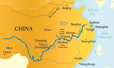
The Main and only Railway Station of Nanjing City, located due East of the City Center of Nanjing and some distance away along the highway to the East. As the arrival point for many, the Main Station is home to a number of essential Services. As is the New Airport !
There is no information available on any ethnic minority groups or members in Nanjing, at this Time.
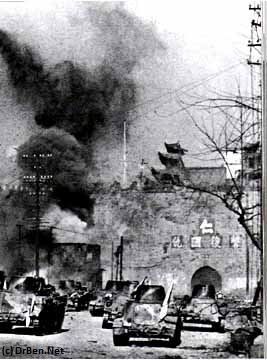
There is no information available on the History of Nanjing.
Nanjing City of Today is under a peculiar if not unique form of administration within the Peoples Republic of China, as it is Governed directly by the Communist Party of China. The official designation of the City Government of Nanjing is thus, the ′ Peoples Government of Nanjing′ .
The City has eleven districts, 8 City Districts and 3 suburban districts named Qu. In addition there are two rural districts designated as Xian. Altogether there 13 different administrative divisions within the City.
The 7 City Districts of the most inner City of Nanjing are Baxia Qu, Gulou Qu, Jianje Qu, Qinhuai Qu, Yuhuatai Qu, Xiaguan Qu and Xuanwu Qu, with the 8th Qixia added as a bonus later. The Three suburban districts surrounding the inner city of Nanjing are Jiangning Qu in the South and South-East, Pukou Qu in the West and Luhe Qu in the far North.
The two Rural Districts (Xian) of Nanjing are Lishui Xian and Gaochun Xian.
There is no information available on modern Nanjing at this Time.
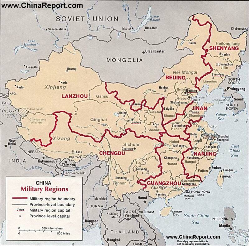
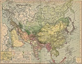
Mapshowingthe7MilitaryCommandsorDistrictsinChinaincludingtheDistrictofNanjingplaced centrally along the coastline of the East China Sea and theoretically includes Taiwan.
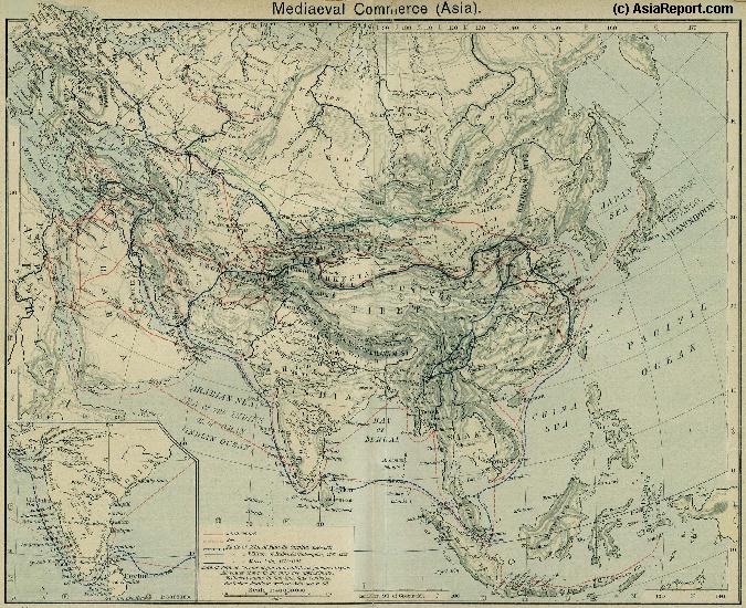
A Schematic Map of the Eurasian Trade Routes existing in the 13Th Century (Yuan Dynasty).
Clearly depicted on the Map are the land-bound trading routes through Central Asia known as the Silk Road (the path of Marco Polo and others) and the Maritime Trade Routes that operated between the Arabian Peninsula, the Indian Ocean and Coastal Cities, the Straights of Malacca and South-China Sea's. As shown Maritime Trade to China mainly entered through Southern Harbors, then was distributed internally by use of the Grand Canal, the Yangzte River and the Yellow River.
China Report - Colonialism - Growth of Colonies & Japan after 1801 AD
A Map drawing of the Eurasian continent , parts of North-East Africa and the Middle East in the 19Th Century between 1801 AD and 1900 AD. Focal points are the expansion of western colonial posessions of Portugal, Britain and France, as well as Russia moving from West to East. Labeled seperately is the later Rise of the Empire of Japan in the East.
Included in this Map are the main cities across the continent with their brief histories and events during the 19Th Century. Marked in Colors for clarity are the various colonial and imperialist Nations. As relating to China; special attention is payed to so called Treaty Ports. The First Treaty Ports were forced open by Britain in the year 1841 AD, but counted over 80 in total by the end of the 19Th Century. The most important Treaty Ports in China are marked and described with a short history where the map allows.
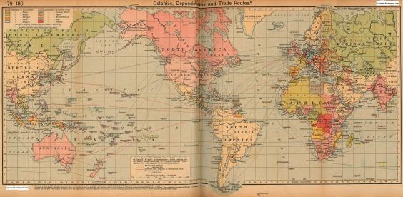
Colonialism - 1912 World Map of Colonial Possessions & Trade Routes.
A Map drawing of the World depicting the Colonial Possessions as they were distributed in 1912 AD. Superimposed and marked in colors are subsequent changes in Influences Spheres, colonies and possessions due to World War I ( 1914 AD - 1918 AD).
Included in this Map are the main cities across the continents with their brief histories and events during the late 19Th Century and early 20Th century, where relevant. Marked in Colors for clarity are the various colonial and imperialist Nations. As relating to China; special attention is payed to so called Treaty Ports. The First Treaty Ports were forced open by Britain in the year 1841 AD, but counted over 80 in total by the end of the 19Th Century.