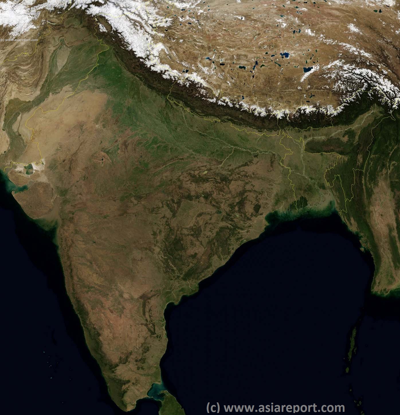
Map includes names of all Capitals of all 29 Indian Provinces; Andra Pradesh, Aranuchal Pradesh (disputed and claimed by China), Assam, Bihar, Chhattisgarh, Goa, Gujarat, Haryana, Himachal Pradesh, Jammu and Kashmir (disputed & Aksay Chin claimed + held by China; part of Xinjiang AR) , Jharkhand, Karnataka, Kerala, Madhya Pradesh, Maharashtra, Manipur, Meghalaya, Mizoram, Nagaland, Orissa, Punjab, Rajahstan, Sikkim, Tamil Nadu, Tripura, Uttar Pradesh, Uttarakhand and West Bengal; and the Seven Union Regions of 1) Andaman and Nicobar islands, 2) Chandigarh, 3) Dandra and Nagar Haveli, 4) Daman and Dui, 5) Lakshadweep Islands, 6) the National Capital Territory of Delhi and 7) Puducherry (Pundicherry).
Main Deserts, Mountain ranges, Mountains & Heights, Rivers, Lakes, Sea's and Oceans are marked with their names.
PleaseBrowsearoundtheMapto IdentifytheProvincesandAutonomousRegionsandlocatetheCapitalCities,Mountains,RiversandotherGeographicalfeaturesoftheNation,aswellasthewiderRegions. In 2014 Telangana, split from Andra Pradesh, was added as 29th State.
This page was last updated on: August 9, 2017
Asia Report - India Maps : India, Pakistan, Tibet, Bangladesh Satellite Image Based MapOverview01A